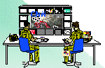
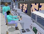
PHASE II: Virtual Environments for Distributed Command and Control
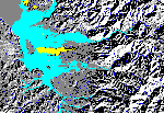
Production of Terrain Databases for Modeling and Simulation
Development of a Prototype Sensor Fusion System for the Achievement of a Comprehensive Terrain Understanding from Multiple Sources of Data
Wavelets for compression of Terrain Elevation Data
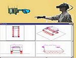
Rapid Terrain Database Generation
Scene Generation Quality Assessment
Development of a Real-time Image Data Management System
Development of a parallel Wavelet Based Classification Techniques